

An assessment of adaptation effectiveness, drawing on the five criteria used by the UN Environment Programme in its Adaptation Gap Report - comprehensiveness, inclusiveness, implementability, integration, and monitoring and evaluation - reveals that PNG faces substantial challenges across all dimensions.
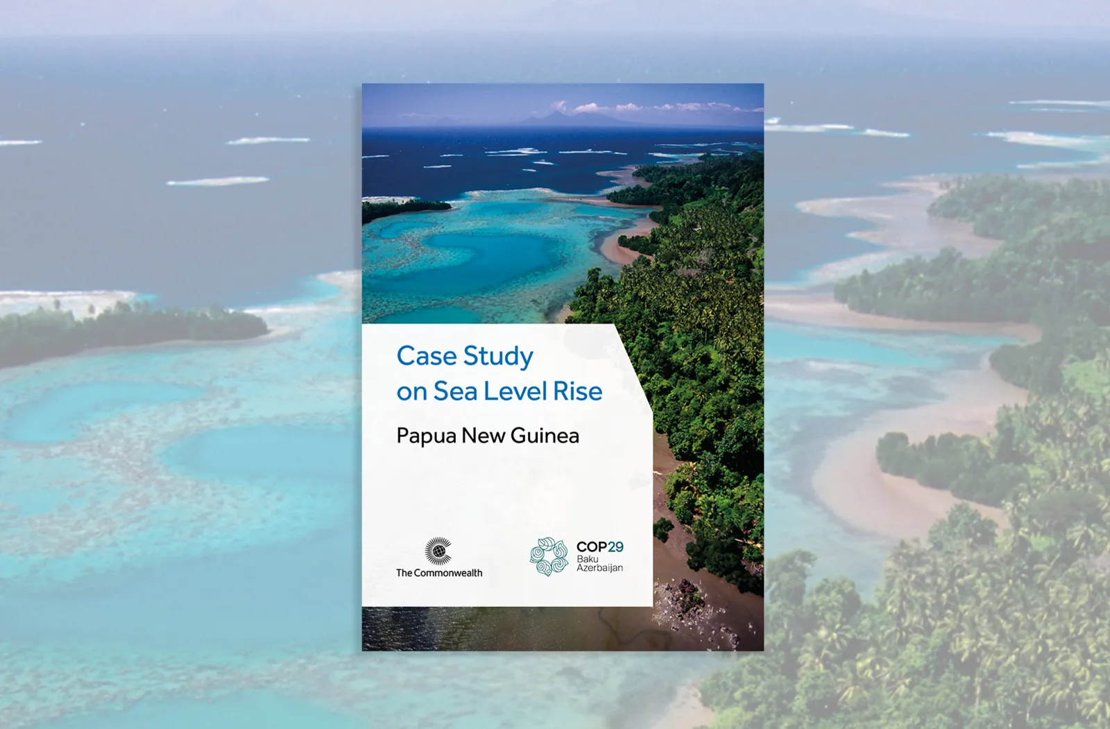
Case studies of adaptation projects implemented by the UN Development Programme (UNDP) and the International Organization for Migration (IOM), in partnership with the PNG Government’s Office of Climate Change and Development Authority, highlight both the difficulties and lessons learned. A UNDP flood adaptation project across five provinces was rated overall unsatisfactory, while an IOM study of the Carteret Islands displaced community underscored the urgent need for policy on climate-displaced people and integrated land-use planning. Recommendations focus on amending the Organic Law to allocate climate adaptation responsibilities to provinces, strengthening data sharing between agencies, securing long-term climate financing and mainstreaming climate adaptation into development planning at all levels of government.